May 14

Elie to Anstruther

Earlyish start this morning in order to beat the threatened rain so no breakfast. However, I did get a delicious bacon roll in Elie.

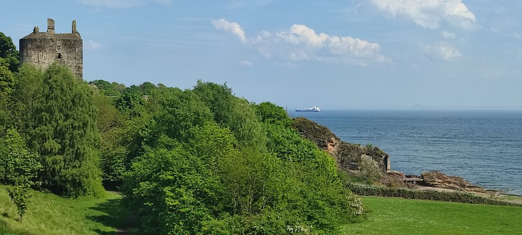
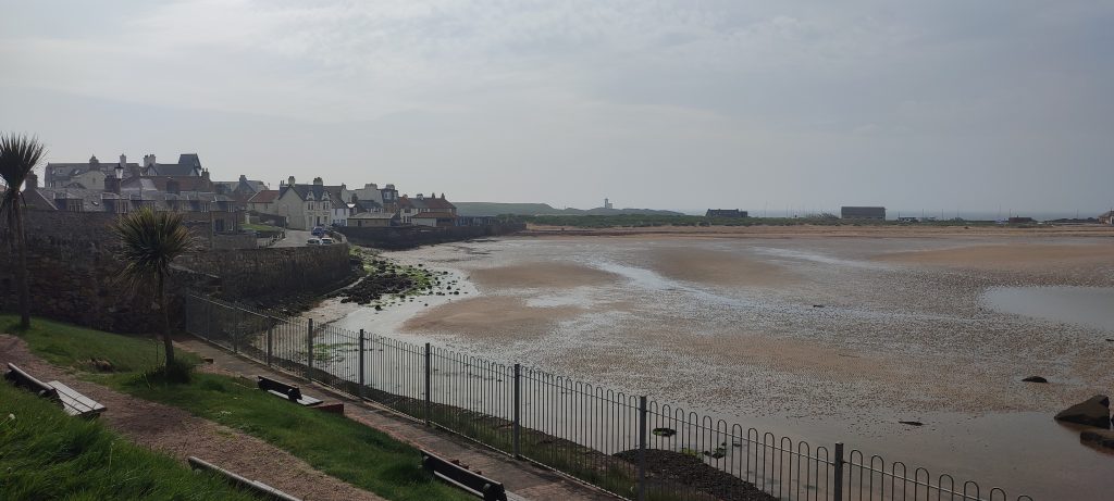
Today’s stroll was delightful. All sorts of different things to see. Somehow, I like to see the sea on my right hand side. The park in the photo below was a perfect place to eat the bacon roll before setting off in earnest.
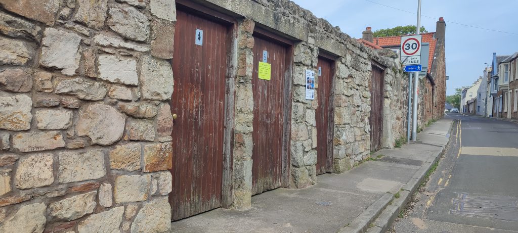
The open terrain and likely length of the stroll led us to use the local facilities. Very clean and spacious. Well worth mentioning.
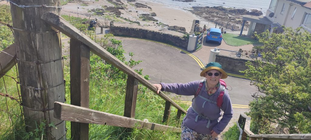
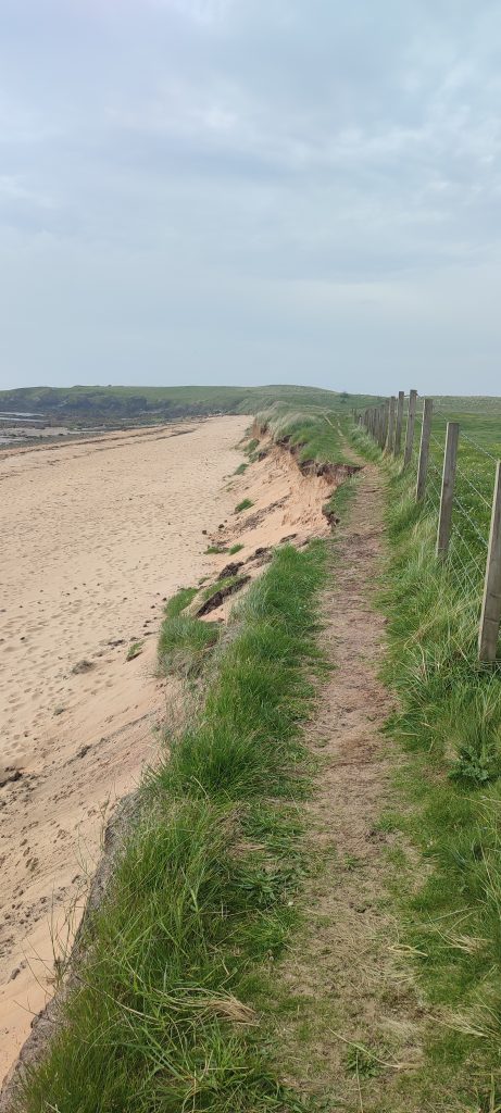
The Fife Coastal Path is in very good repair and must take hours of voluntary work to keep it so. Despite their best efforts nature can’t be beaten and erosion has meant that there is a detour out on to the nearby A road. We did carry on though and negotiated the awkward bit without any dramas. Not out of bravado, quite the opposite, as we really don’t like scuttling along a busy A road with no footway.
Just one pretty village after another. All with just enough visitors.
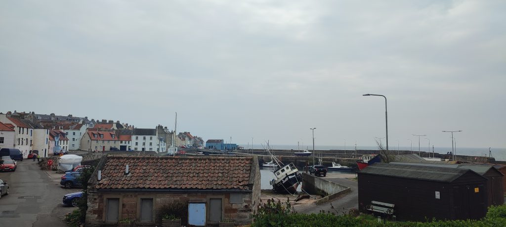
Onwards to Anstruther and its esplanade.
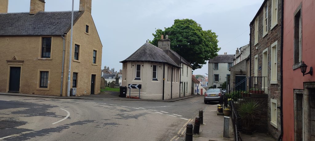
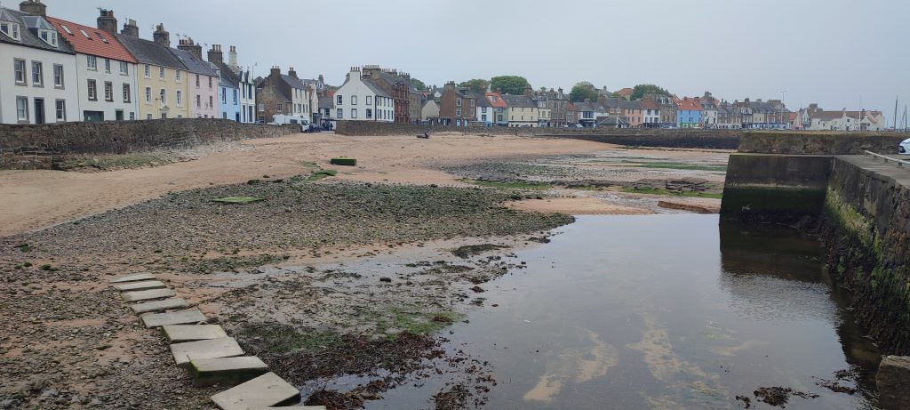
As the tide was out we could stroll across and into town. The threatened rain had still not arrived.
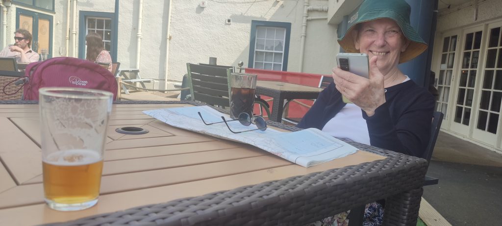
If you get to Anstruther get a crab sandwich. The threatened rain did finally arrive but the Ship Inn provided a very good pint and shelter. A group of strollers arrived after us and we swapped walking stories, out of the rain, in the warm and well lubricated.

Map of the route “Elie to Anstruther”: 7.14 mi, 96 m of climbing and 100 m of descent, elevation between 51 m and 77 m, time 03:40:46. It starts at 56.19040, -2.82112 and ends at 56.22275, -2.70045 (latitude, longitude).
May 13

Buckhaven to Elie

The map has a straight line at the end. In fact it was a very wiggly, very steep, part of the stroll but my gps machine gor bored and went to sleep.

However!

Ah! The eco park with its fierce, military style fence which trapped us yesterday.

Quickly replaced by a delicious glass or two on entering the rather lovely Lower Largo.

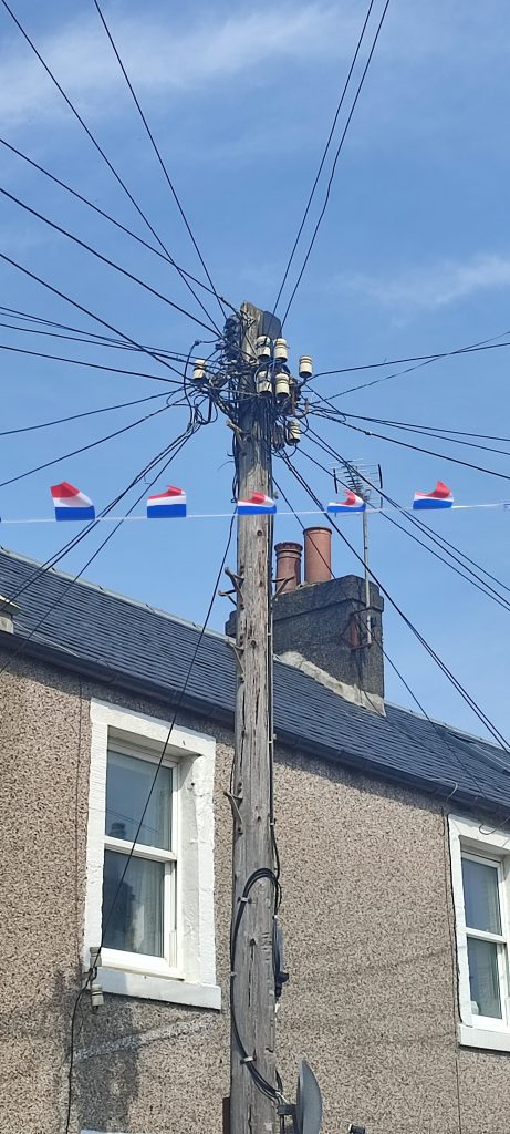
we could see French flag bunting everywhere, even from a fine telephone pole.

I had no idea that Alexander Selkirk, Robinson Crusoe, was born in Lower Largo. His statue and a blurb are to found on his birthplace.


Map of the route “Buckhaven to Elie”: 11.74 mi, 648 m of climbing and 674 m of descent, elevation between 44 m and 99 m, time 06:48:59. It starts at 56.17357, -3.03977 and ends at 56.19079, -2.82150 (latitude, longitude).

May 12

Kirkaldy to Methil

Instead of strolling from Altnabreac to Scotscalder we are in Fife.

A lovely sunny, but windy, day. We even managed to end up against a military style fence having noticed a partially unlocked gate in a military style fence.


Stooging around Kirkaldy

Map of the route “Kirkaldy to Methil”: 2.93 mi, 636 m of climbing and 637 m of descent, elevation between 43 m and 119 m, time 01:05:42. It starts at 56.11978, -3.14302 and ends at 56.11971, -3.14652 (latitude, longitude).

Kirkaldy to Methil

Map of the route “Kirkaldy to Methil”: 9.20 mi, 863 m of climbing and 872 m of descent, elevation between 39 m and 99 m, time 04:24:52. It starts at 56.12699, -3.12377 and ends at 56.18708, -3.02756 (latitude, longitude).

July 10

Day 20 A revisited Newport to Dunbeath

Well, finally, the missing link in our trail from Ponte Caffaro to John o’Groats completed. What a glorious day it was too. we set off down the hill from the Halfway House Hostel at Newport and bore left.

Map of the route “Day 20 A revisited Newport to Dunbeath”: 6.14 mi, 809 m of climbing and 877 m of descent, elevation between 1 m and 141 m, time 04:28:59. It starts at 58.19559, -3.48707 and ends at 58.24710, -3.43993 (latitude, longitude).

July 1

Day 20 revisited Helmsdale to Newport

At last we have completed this section. Today is 30th June 2023.
A truly glorious day. Thanks to the John o’ Groats trail volunteers. The gorse and bracken laid low and new signs erected.
Five years ago we arrived at this point and were met with an barrier of gorse and of bracken. A local volunteer also had to turn back. More photos to follo when I have internet.

Map of the route “Day 20 revisited Helmsdale to Newport”: 8.99 mi, 863 m of climbing and 855 m of descent, elevation between 6 m and 204 m. It starts at 58.13452, -3.61692 and ends at 58.19544, -3.48700 (latitude, longitude).

September 1

Day – 28 Kinbrace to Kildonan

IMG_20220527_094659

IMG_20220527_101946

IMG_20220527_102333

IMG_20220527_102351

IMG_20220527_124706

IMG_20220527_132628

VID_20220527_135346

Map of the route “Day – 28 Kinbrace to Kildonan”: 8.34 mi, 145 m of climbing and 210 m of descent, elevation between 59 m and 157 m, time 03:47:31. It starts at 58.25860, -3.94106 and ends at 58.17058, -3.86790 (latitude, longitude).

May 26

Day 27 Between Kildonan and Helmsdale

After a lapse of a few years the ancient strollers and their ancient legs are intending to fill in the gap left in our meandering walks between the UK and Italy. The plan is to stroll to Wick from Helmsdale up Strath Helmsdale. The recce having been done in the two days we could spare we have the route.

IMG_20220526_093502
There is an emergency timetable in operation by Scotrail at the moment so we were a tad nervous that the only train to Kildonan might not arrive this morning.

IMG_20220526_100442

To get to the rather delightful A897 one leaves the halt at Kildonan and over a bridge to a track on the right.

IMG_20220526_100528

IMG_20220526_100806

IMG_20220526_101935

IMG_20220526_103053

IMG_20220526_121904

IMG_20220526_123712

IMG_20220526_123657

IMG_20220526_125813
IMG_20220526_135631

IMG_20220526_135631

IMG_20220526_143954

IMG_20220526_144047

IMG_20220526_144757

IMG_20220526_145438

IMG_20220526_145458

IMG_20220526_182634

Map of the route “Day 27 Between Kildonan and Helmsdale”: 10.85 mi, 215 m of climbing and 255 m of descent, elevation between 13 m and 68 m, time 04:50:11. It starts at 58.17071, -3.86893 and ends at 58.11724, -3.65395 (latitude, longitude).

August 22

Day 26 Keiss to Duncansby Head and beyond.

Starting at Keiss we strolled down to the harbour and ate a croissant before setting off, back the way we had come after visiting the ruins of Keiss Castle. The A99, being quiet and with little traffic, led us quickly and easily towards Skirza where we rejoined the trail. This section is described as a gentle stroll, which it certainly is. If we think it is gentle then it is very gentle indeed. The sun shone and the air was clear. A perfect day.

Speaking to some residents we realised how lucky we have been to have strolled after such a dry year. They told us tails of intrepid walkers who had gone in over their knees in the boggy ground. We also spoke to a cyclist who had ridden from Lands End to John O’Groats in 10 days. A mighty feat. Another spoke of having completed the trip over a period of years. doing sections how and when able.

So that’s that. Not a complete success from the completion point of view but great fun and we have met some really lovely people and seen things impossible to see from a car. Wouldn’t have missed it for the world.

I won’t reply to comments as i am turning them off and making the blog invisible turning it into a private diary, but thanks to those who said nice things and thanks to those who were critical.

Map of the route “Day 26 Keiss to Duncansby Head and beyond.”: 15.64 mi, 561 m of climbing and 577 m of descent, elevation between 1 m and 60 m, time 06:59:52. It starts at 58.53454, -3.12329 and ends at 58.64396, -3.06984 (latitude, longitude).

August 21

Day 25 Wick to Keiss

I can’t really believe how wonderful the weather has been. So far just one day of rain. Let’s hope for the same for tomorrow.
The John o’Groats Trail site tells the timid stroller that today is easy. It also says that the river of Wester into Sinclair’s Bay can be a bit of a tartar at times. Now, I have been chided by more intrepid strollers of overly dramatising events which, for their stout hearts, were trivial. On this occasion however I must say that the trail website lends this river a fearsome reputation which, in practice, it did not appear to deserve.

The trail starts in Wick and leads one past the harbour towards Papigoe, Staxigoe and Noss. Goe being pronounced Go and is “A creek or inlet of the sea with steep rocky sides.” Loads of these on the coast all spectacular from the cliff tops. We fancy a boat trip in order to get a better look at them.

P1090581
These birds were gathering in large numbers on every telephone wire and roof top. A murmuration got going too.
P1090586

The most astonishing thing though was the blighter below. I know nothing about birds but I do know either complete lack of fear or complete lack of intelligence. A motorist on the lane was obliged to toot his horn and even then the bird moved reluctantly.
P1090590

The Castle Sinclair of Girnigoe appears in the distance and soon one walks through it on the trail. We had a good old look around among Route 500 people who can visit by car. One chap from the US was doing a 2000 mile round trip on his motorcycle. In 10 days. Another couple we chatted to were from Milan. All seemed to have a sort of itinerary of what to visit. I suspect that it would be a lengthy job done on foot.
P1090602
The trail is so well marked and walked here that one has loads of time to look around. We could hear seals singing and soon enjoyed watching them as they sported about in the water.
P1090615
Janet told me that she was surprised that I hadn’t taken any photos of the many old tractors which we have passed. Indeed we passed a field in which there were three, yes three, MF 35s lying derelict in a field. My own MF 165 is sitting in a field too. So I have included this Fordson for other tractor enthusiasts.
P1090620
The neatly trimmed lane towards the very grand 5 star hotel Ackergill Tower leads one easily towards the sandy beach.
P1090627
The tide was, once again, much in our favour. We had miles and miles of hard sandy beach on which to make very fast progress. In fact the tide was so much on our side that the previously mentioned River of Wester could be crossed without needing to remove our shoes.
P1090635
A green path leads one into Keiss.
P1090644
I think that today has been the simplest to navigate and easiest to stroll so far.
The only minor fly in my ointment is that my tilley knickers, bought to walk to Italy in 2012, have given up the ghost.

Map of the route “Day 25 Wick to Keiss”: 11.97 mi, 188 m of climbing and 165 m of descent, elevation between 1 m and 41 m, time 04:55:23. It starts at 58.44190, -3.09015 and ends at 58.53455, -3.12297 (latitude, longitude).

August 20

Day 24 Whaligoe to Wick

We started out a bit late today. I needed to buy new walking poles due to carelessness on my part. However.

We began by following the way marker at the side of the restaurant at the top of Whaligoe steps. The John o’Groats Trail website describes the stroll to Wick as being well marked and fine for a fit walker. Which the stroll proved to be.
P1090529

Frequent stiles and an obvious path made by others simplified our way ahead. Again, today, we have seen no one on the route.

P1090531

Using an old telephone pole in order to overcome a height change in a bit of fencing was a novelty I haven’t seen before.
P1090535

The OS map shows a mausoleum at Ulbster. It is an intriguing sight on the landscape. I have found a little information about this interesting monument which is still part of an open burial ground.
P1090538

We decided to take a short cut in order to pay a visit to the mausoleum but discovered that the ground was very boggy. Nipping up on to the stone wall gave us a way to cross without getting our feet wet.
P1090540
I do think that the highspots of today’s stroll were the many cliff formations. which one passes. A series of arches, caves and slabs too many to mention take one’s breath away.
P1090550

The path into Wick is very well marked passing Old Wick Castle. From there one follows an asphalt path passing TRINKIE an outdoor bathing area much used in the past but now being considered for renovation I believe.
P1090566
Finally past Wick Harbour and home for supper.
P1090576
Another great day’s stroll.
I have just remembered a lovely chat to an elderly crofter we met today. We had much in common. He told us quite a lot about the area and its inhabitants. We strolled together for a little while. It is these chance meetings which we enjoy so much. Not to mention the mine of information of two ladies, about our age, we chatted to in the pub.

Map of the route “Day 24 Whaligoe to Wick”: 12.31 mi, 781 m of climbing and 835 m of descent, elevation between 1 m and 87 m, time 06:51:16. It starts at 58.34747, -3.16291 and ends at 58.44270, -3.09006 (latitude, longitude).