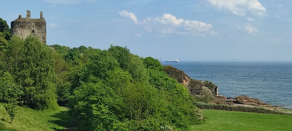
Buckhaven to Elie
The map has a straight line at the end. In fact it was a very wiggly, very steep, part of the stroll but my gps machine gor bored and went to sleep.
However!
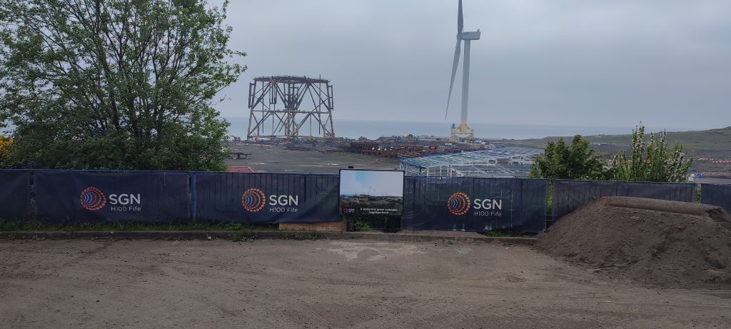
Ah! The eco park with its fierce, military style fence which trapped us yesterday.
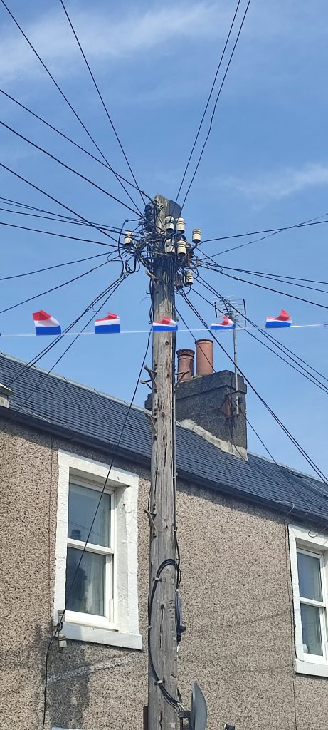
Quickly replaced by a delicious glass or two on entering the rather lovely Lower Largo.
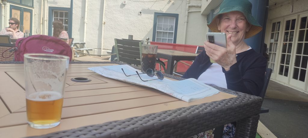
we could see French flag bunting everywhere, even from a fine telephone pole.
I had no idea that Alexander Selkirk, Robinson Crusoe, was born in Lower Largo. His statue and a blurb are to found on his birthplace.
Map of the route “Buckhaven to Elie”: 11.74 mi, 648 m of climbing and 674 m of descent, elevation between 44 m and 99 m, time 06:48:59. It starts at 56.17357, -3.03977 and ends at 56.19079, -2.82150 (latitude, longitude).