May
12
Kirkaldy to Methil
Instead of strolling from Altnabreac to Scotscalder we are in Fife.
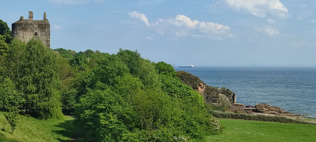
A lovely sunny, but windy, day. We even managed to end up against a military style fence having noticed a partially unlocked gate in a military style fence.
Stooging around Kirkaldy
Map of the route “Kirkaldy to Methil”: 2.93 mi, 636 m of climbing and 637 m of descent, elevation between 43 m and 119 m, time 01:05:42. It starts at 56.11978, -3.14302 and ends at 56.11971, -3.14652 (latitude, longitude).
Kirkaldy to Methil
Map of the route “Kirkaldy to Methil”: 9.20 mi, 863 m of climbing and 872 m of descent, elevation between 39 m and 99 m, time 04:24:52. It starts at 56.12699, -3.12377 and ends at 56.18708, -3.02756 (latitude, longitude).